
Quick take: Is global warming driving the Anchorage snowpocalypse?
I wanted to know, so I asked two climatologists. The answer: It's complicated.
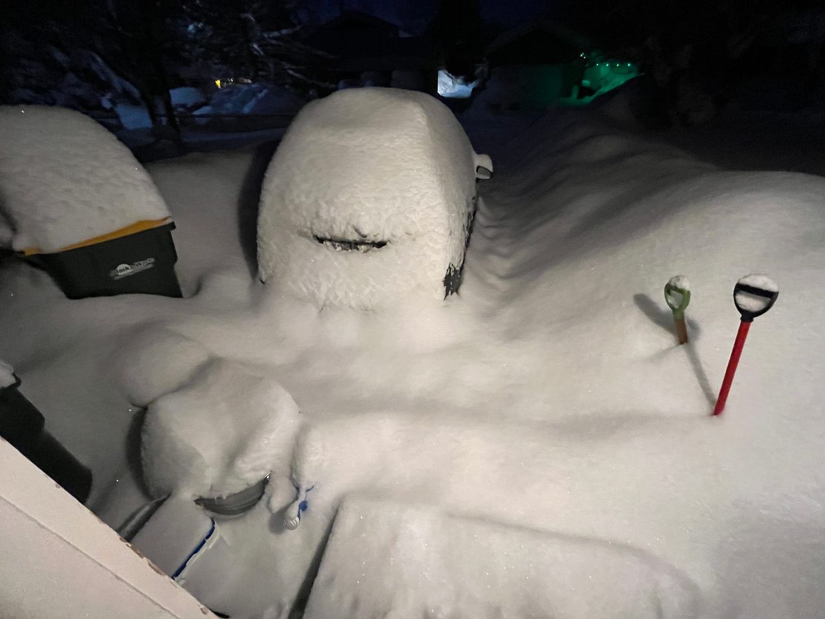
If you live in Alaska and you’re not living under a rock (or, let’s be honest, a snowbank), you’re probably aware that Anchorage is contending with an epic level of snowfall that’s nearly paralyzed the city — 41 inches in the past 11 days.
Northern Journal is a reader-supported publication. To receive new posts and support my work, consider becoming a free or paid subscriber.
I was curious about how much this weather could be tied to climate change, given that Alaska is the nation’s fastest warming state. I hadn’t seen that question answered anywhere, so I asked two climatologists — Rick Thoman with the Alaska Center for Climate Assessment and Policy, and Brian Brettschneider, who works for the National Weather Service.
They graciously responded. Here’s what they said. The parentheses are my additions.
Brian’s take, generally, is that global warming will likely leave places like Anchorage with less snow: In theory, warmer air holds more moisture. As long as the air is still below freezing, it can still snow. That *can* work (to produce more snow) in the heart of winter, but it fails spectacularly in the shoulder seasons. Remember that we've had some of our worst (lowest) snow years on record in the last decade. Here's a map I made showing the relationship between cold season temperatures and snow. As you can see, with very few exceptions, more cold equals more snow. Less cold equals less snow.
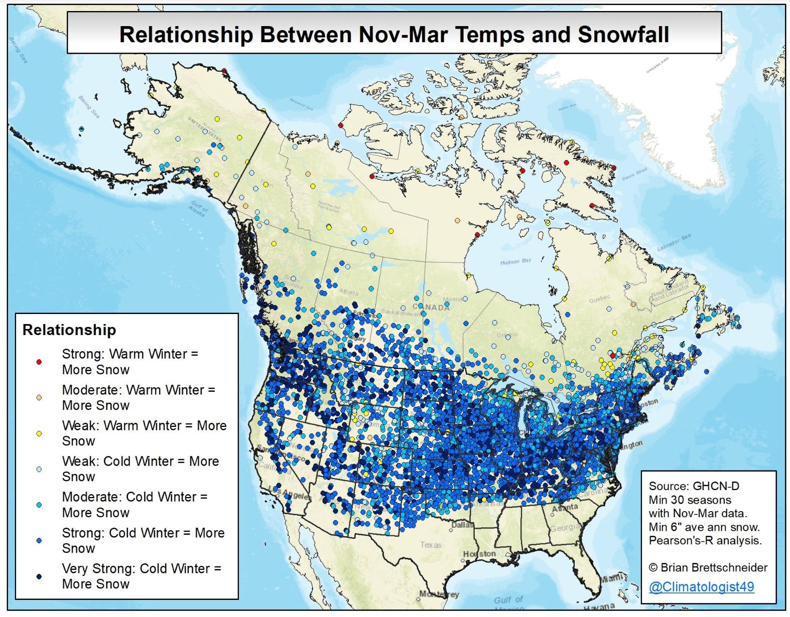
Brian added: A handful of Alaska locations (and Canadian stations) have more snow with warmer temps, but they are weak relationships. Even in Alaska, there is a lot more blue than yellow. Because there can be a lot of local variability in snow from year to year, it's important to look at patterns, not individual dots.
Rick’s response was a bit more mixed:
• The very high precipitation, both in the past 11 days and for 2022 overall, is consistent with what we expected in a warming world, and in particular with warming oceans.
• Anchorage temperatures in December are still low enough that precipitation falling as snow remains the climatologically favored precipitation type.
• There is a very narrow window of winds aloft and storm track that can produce heavy snow in Anchorage. That window is determined by the configuration of the mountains and Cook Inlet. In this case, the "does not often happen" configuration worked out three times in 11 days, but there's no reason to think that would become more common in a warming environment.
Given that this was not a record multi-day snowfall — February 1996 was higher — my guess is that an attribution study (to determine how much climate change may have contributed to the event) would be inconclusive. That being said, this was the highest 10- and 14-day snowfall prior to New Years.
The real extreme is the excessively high water content. The current snowiest December is 1955, with 41.6 inches of snow, which melted down to 2.67 inches of liquid. This month is at 41.1 inches of snow, melting down to 3.75 inches of water — far and away the highest December total, and the highest for any month from November through June. That's the climate change signal.
You can read Rick's Arctic and Climate Newsletter on Substack. And you can follow Brian on Twitter.